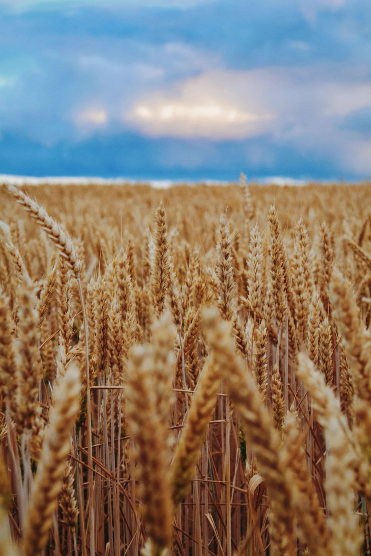
Agriculture
Production and management intelligence.
Crop condition, phenology, yield, ET, heat and water stress, management scenarios and resource-use efficiency.
Field-to-regional intelligence for crop condition, phenology, yield, evapotranspiration, heat and water stress, resource use and management—integrating Earth observation, crop models and AI.
Spatial carbon accounting and MRV for managed landscapes, combining satellite observations, process-based carbon–water–nitrogen modeling, management data and scenario analytics.
Integrated intelligence for water use, drought, soil-water conditions, irrigation, land-use change, vulnerability and resource planning across agricultural and natural landscapes.
SASYRA connects local observations with landscape- and regional-scale monitoring, forecasting, scenario analysis and optimization.
A common geospatial, modeling and AI platform connects agricultural production, carbon dynamics, water resources and landscape change.
Crop condition, phenology, yield, ET, heat and water stress, management scenarios and resource-use efficiency.
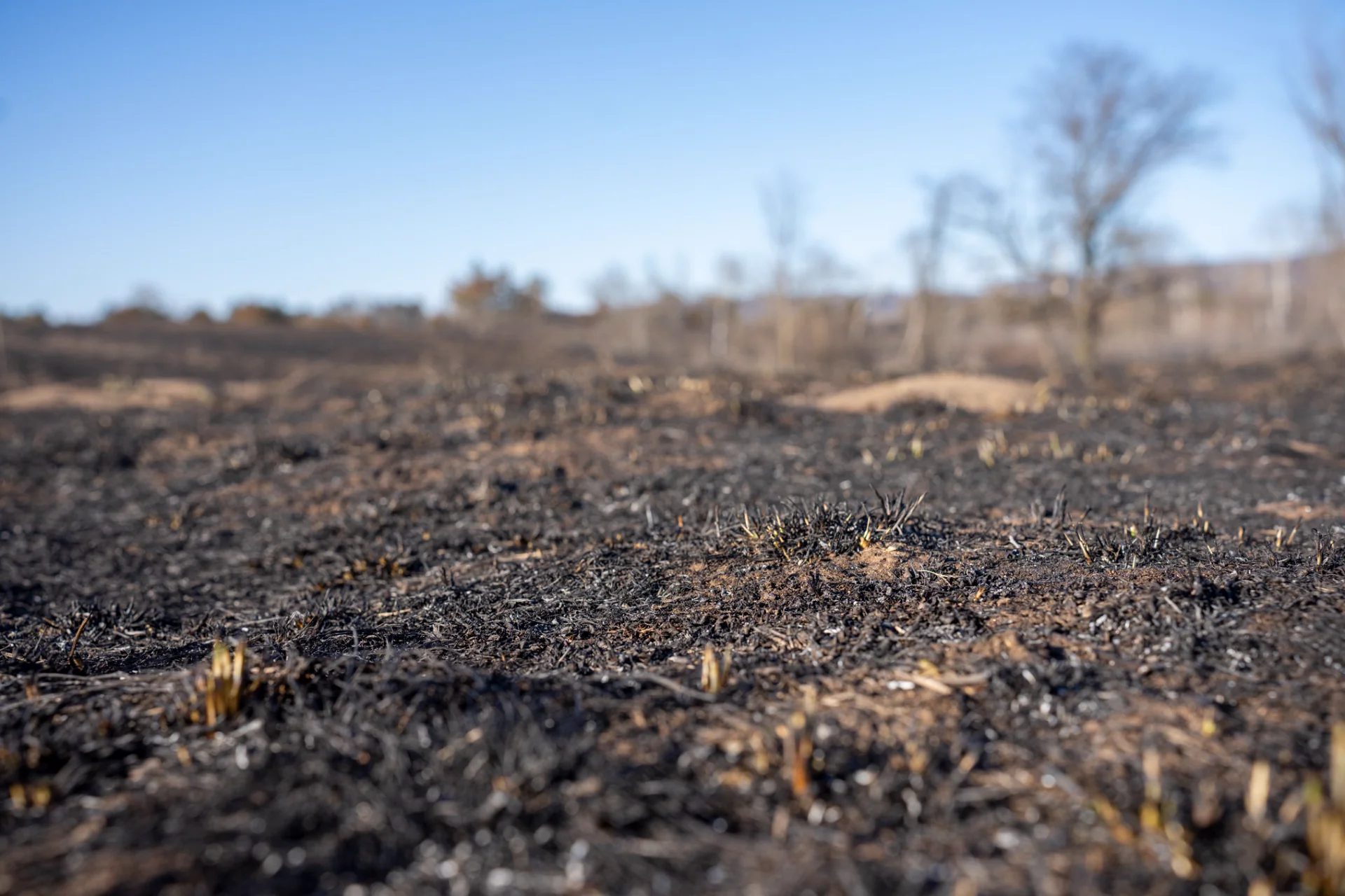
Carbon accounting and MRV, biomass, management outcomes and process-based ecosystem analytics.
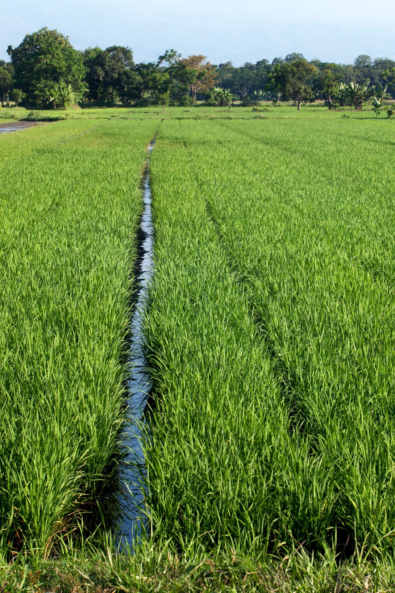
Water-use assessment, drought, irrigation, land-use change, vulnerability and scenario-based planning.
Earth observation, physical process understanding, geospatial modeling and predictive analytics are integrated into one decision platform.
Satellite, UAV, weather, soil, IoT, field, hydrologic and land-system data.
Crop, carbon, water, vegetation, soil, land-use and management processes.
AI/ML, data fusion, forecasting, scenarios, change detection and risk.
Decision intelligence for production, conservation and resource management.
We are exploring strategic co-development, pilots and commercial partnerships across agriculture, carbon, water and land systems.